ESRI ArcGIS is a
family of software products that forms a complete geographical
information system (GIS). ArcView is a member of this
family.
ArcGIS
Brochure (4097 KB)
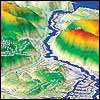
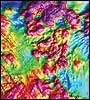
Flooding
of underground mine
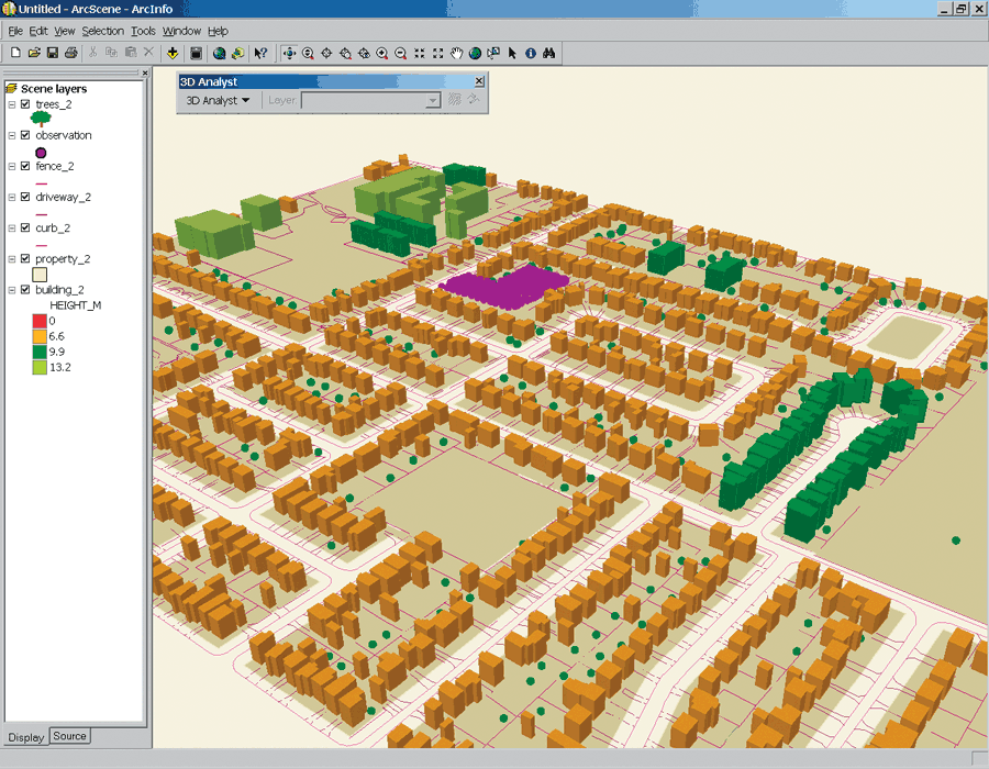
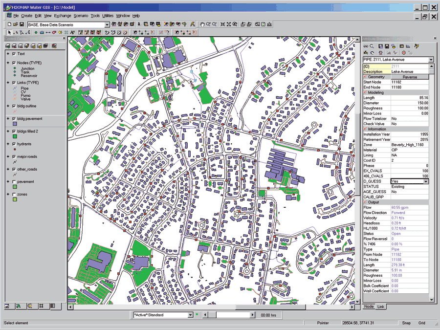
ArcView is the world
most popular desktop mapping and geographic information system
software. It is a powerful tool for the visualisation,
query, management, and analysis or spatial information.
Geo-environmental engineers the world round, rely on this
package to produce maps, visualisations, query data such as
geology, soil conservation, subsidence, groundwater, census,
site investigation, and much more.
ArcView
9.x Brochure (751 KB)
www.esri.com
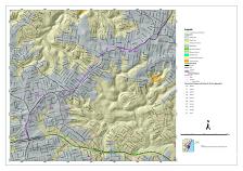
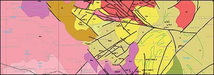
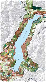
Geology
and SI Information
(Click for large version)
|